 |
 |
| Homer Spit |
 |
| Grilling with a view |
It's our final morning here. One more drive around town to soak in the wonderful views before heading back up to Anchorage.
 |
| Sandhill Crane |
|
|
| Homer Spit |
|
| Grilling with a view |
|
| Sandhill Crane |

Seeing the bears standing atop Brooks Falls in Katmai National Park, catching salmon as they fly out of the water on their annual spawning run upstream, has been on the bucket list for a long time. We're so blessed and happy to be able to cross this off this list.
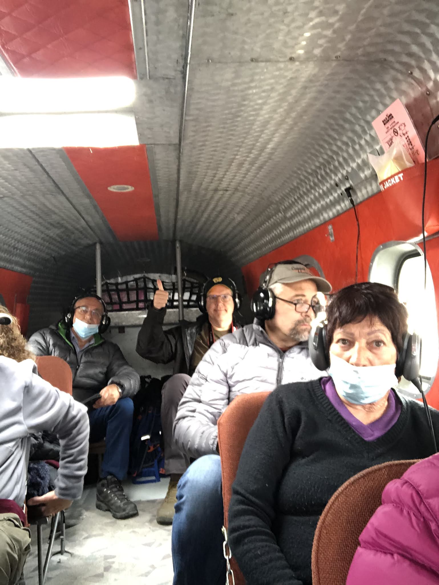
Brooks Falls is a wide but short waterfall on the Brooks River. The Brooks River itself is very short, only flowing between Brooks Lake and Naknek Lake. At most, it's maybe two miles long. Every July, salmon began their spawning run upstream and have to fly out of the water in order to make it over the falls. The more adept bears have learned they can stand at the top of the falls and the fish will come to them. It is quite the sight to see. Talk about practicing patience. We watched bears standing with their eyes gazed at the water for sometimes 15 or 20 minutes at a time waiting to grab their salmon snack out of the water.


We probably saw close to two dozen different bears during our time at Katmai. I took way too many pictures while we were here and I need time to go through them all -- especially all of the video that Mona took -- but here are a few.


 Halibut Cove has fewer than 50 year round residents and maybe about 200 during the summer. The Saltry is only open three months out of the year, but it is one of those destination restaurants that people want to dine at, so business is brisk all summer long.

We were blessed with abundant sunshine at the cove during our time there (although I know it looks cloudy) and it was like scenes from a movie. Everywhere we looked was picturesque. Unfortunately, we won't be able to come back while we're here; however, it will be near the top of the list when we come back to Alaska.


We made a couple of stops along the way at Kenai Lake and Cooper Landing and drove the Skilak Lake Road in the Kenai National Wildlife Refuge. We were hoping to spot some moose or bear, but no such luck. We were treated to some awesome views and scenery.

 |
| Russian Orthodox Church |
We made a final stop in the City of Kenai to see the Holy Assumption of the Virgin Mary Russian Orthodox Church. It dates to the 1890's and is the oldest Russian Orthodox Church in Alaska.
We have an AirBnB in Homer so looking forward to cooking some meals and getting some laundry done for the 2nd half of our trip.

Mt. Marathon is one of several mountains that surround Seward. There's a trail up to the summit which starts right from downtown. Every year on the 4th of July there's a race to the top of Mt. Marathon and back down. It's not actually a marathon, but it's slightly longer than a 5K. Runners from around Alaska and across the United States vie for one of the limited spots in the race each year. This year was the 93rd running of the race, and because of the ongoing pandemic, the race was moved to July 7th in the middle of the week to limit the crowd size. That's fortuitous for us as we had no idea the race would be taking place since we weren't here on the 4th.
Why is there such a race in the first place? From the race website:

**A sourdough is the term used to refer to an Alaskan who has lived here "for several winters," i.e., a long time
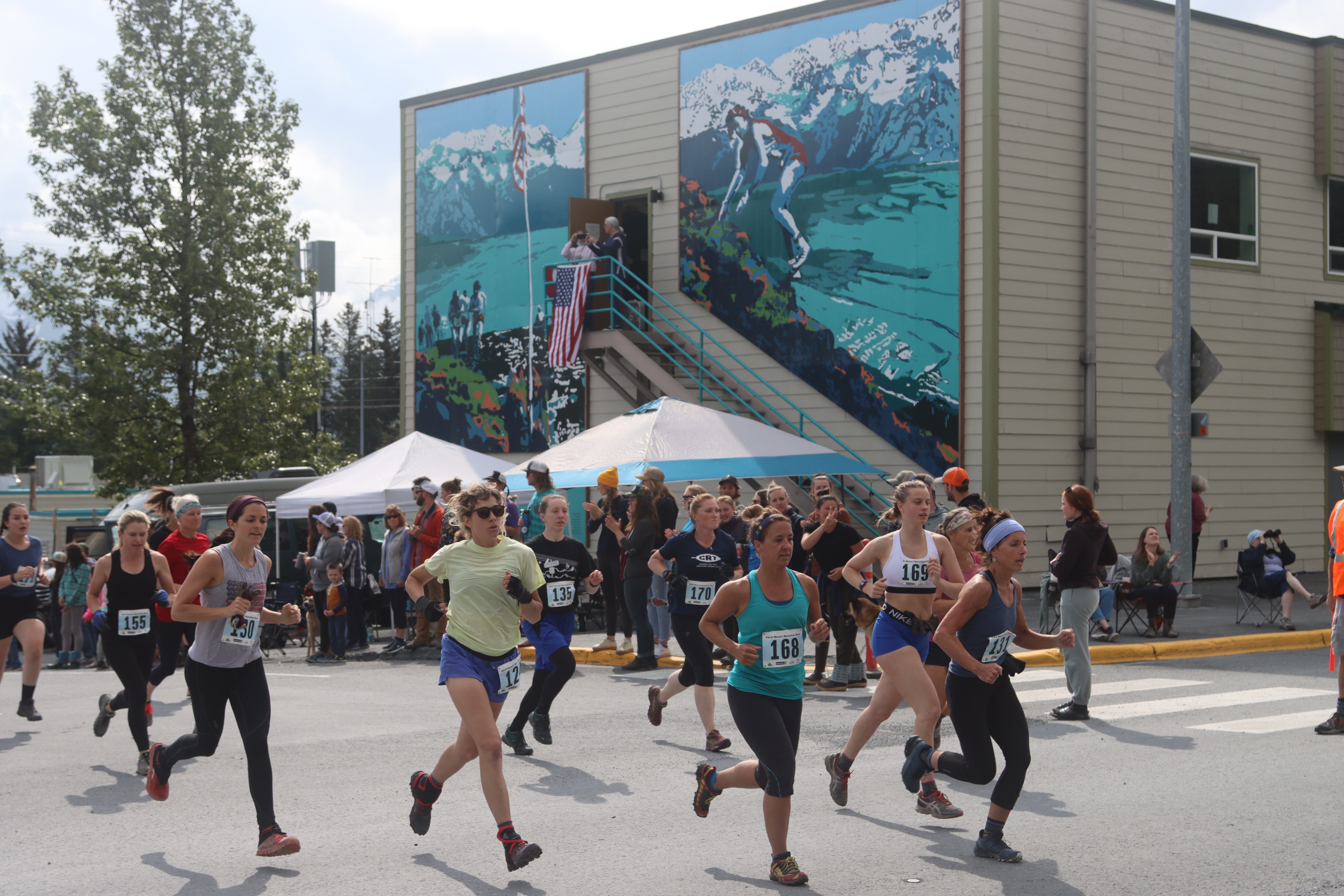
After watching runners slip on the mountain and come down covered in mud from falls, I'll stick to being a spectator.


Kenai Fjords National Park has over 40 glaciers all fed from the Harding Icefield. The Icefield is over 1,100 square miles and caps the Kenai Mountains. Exit Glacier is the most accessible of the glaciers as you can drive out to the visitor center and walk a mile to the observation area near its toe. Alas, the glaciers are receding at a fairly fast pace. There are signs as you drive in showing you various years that mark how far out the glacier used to come from the Icefield. It's quite sobering to drive and walk past these signs and realize the receding of Exit Glacier can be measured in miles.

The Harding Icefield trail is a four mile one-way trail (eight miles round trip) that gains about 3,300 feet in elevation as you go up the trail. There are basically three lookout points -- Marmot Meadows, Top of the Cliffs, and End of the Trail. We decided to stop at Top of the Cliffs, mainly because the trail above that area still had lots of ice and snow and we could see folks slipping and sliding trying to navigate that portion of the trail. While we missed seeing the vast expanse of the Icefield itself, we were still treated to incredible views of the glacier and the edge of the Icefield. The trail goes though a lush, dense forested area, across a cascading waterfall, before you begin the steep ascent. You then enter an area of ground brush before climbing into the tundra and minimal vegetation.
 |
| The ice appears Blue |
 |
| Hikers out on the glacier |
